Copernicus TRUSTED project: Setting new standards for High Resolution Sea Surface Temperature measurements
- November 9, 2018
- Category: Flash info

CLS, provider of Iridium modems and processing services, plays a key role in ensuring the quality of the high resolution sea surface temperature measurements made by Europe’s Sentinel-3 satellite mission. Sentinel-3 satellites provide state-of-the-art ocean observations in support of ocean forecasting systems and environmental and climate monitoring.
The EU funded Copernicus TRUSTED project is part of an ambitious fiducial reference measurement initiative to calibrate the Sentinel 3A/B sensors.
The project aims to deploy over 100 Surface drifters all around the world to provide reference Sea Surface measurements through the use of state of the art digital temperature sensors. The data collected by the buoys will be used along with other fiducial reference measurements initiative supported by Copernicus to calibrate and validate the Sentinel-3 sensors.
New standards in SST measurements for drifting buoys
CLS, in collaboration with its partners NKE and SHOM, developed an oceanographic drifting buoy with a High Resolution Sea Surface Temperature (HRSST) sensor capable of validating the most up-to-date high resolution satellite-based observations of Sea Surface Temperature from Europe’s Sentinel-3 satellite mission. This buoy uses Iridium SBD service provided by CLS to relay the HRSST data along with its position and other ocean parameters. CLS provides special processing services that make it possible to validate Sentinel-3 measurements and posts the data to the Global Telecommunication System (GTS) of the World Meteorological Organization (WMO) for inclusion in numerical weather forecasting models. The data will also be available through the CMEMS in situ data portal.
Trusted project consortium
The consortium is led by CLS, who provides the Iridium modem, airtime and special processing services and includes NKE, responsible for designing and building the buoys, the SHOM, in charge of calibration of the HRSST sensor, Meteo France, who is responsible for deployment, BSH which will provide a tethered reference measurement and JCOMMOPS which will provide the metadata processing and visualization tools to monitor the deployments.
Project status: 2 buoys deployed, 100 in production
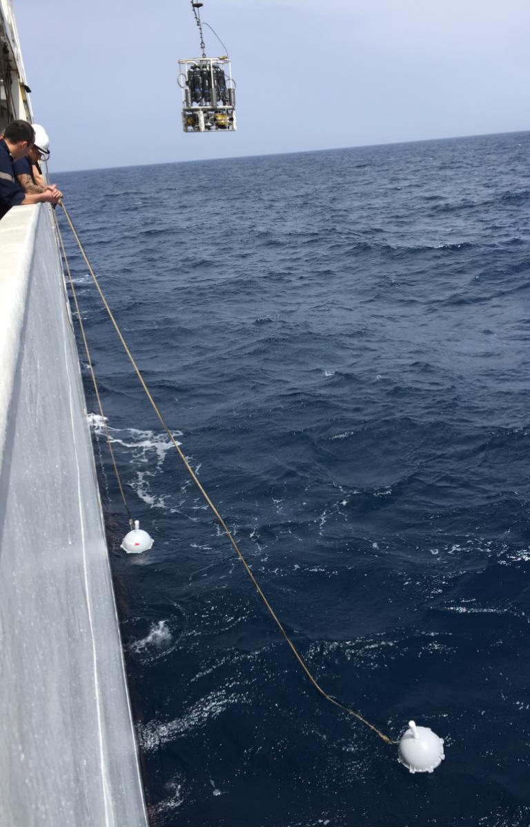
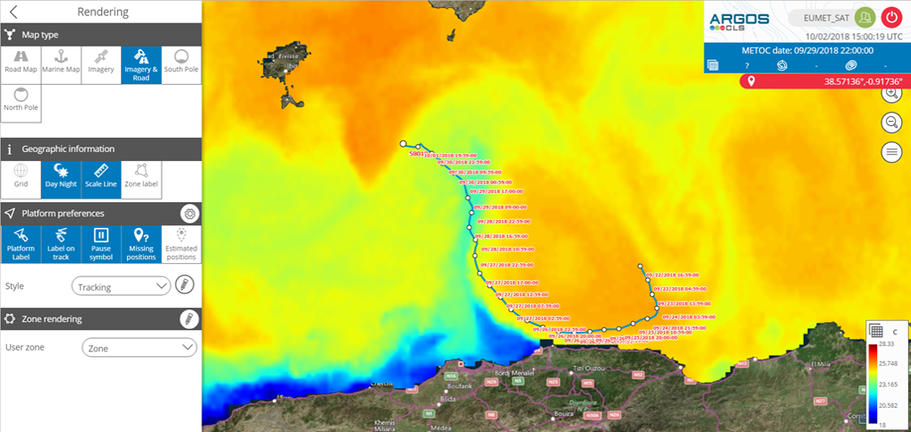
Phase 1 of the project has just been successfully completed with the design, building, calibration and deployment of 2 DBCP compliant Prototypes (named SVP-BRST) in the Mediterranean Sea, South West of the Balearic Islands. A preliminary analysis of the data show that is consistent with the stringent project requirements.
Phase 2 which includes the production of a further 100 buoys has now begun with the first operational deployments expected in early 2019.

Project partners:

