Data Collection System
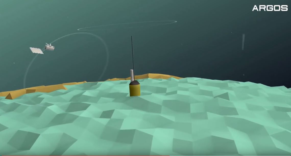
Argos Satellite System
7 satellites operational
100mn are necessary to complete 1 total orbit
Satellites are drifting at 850 km altitude
The ground visibility is 5000 km
Argos is a unique worldwide satellite location & data collection system which is consolidating its role as a worldwide system for observation & protecting the earth’s environment.
Argos is operated and managed worldwide, by CLS Group, a CNES subsidiary and several other international space agencies also actively participate in the Argos system including:
- French Space Agency (CNES),
- National Oceanic and Atmospheric Administration (NOAA, USA),
- National Aeronautics and Space Administration (NASA , USA),
- Eumetsat (European Organization of the Exploitation of Meterological Satellites),
- Indian Space Research Organization (ISRO)
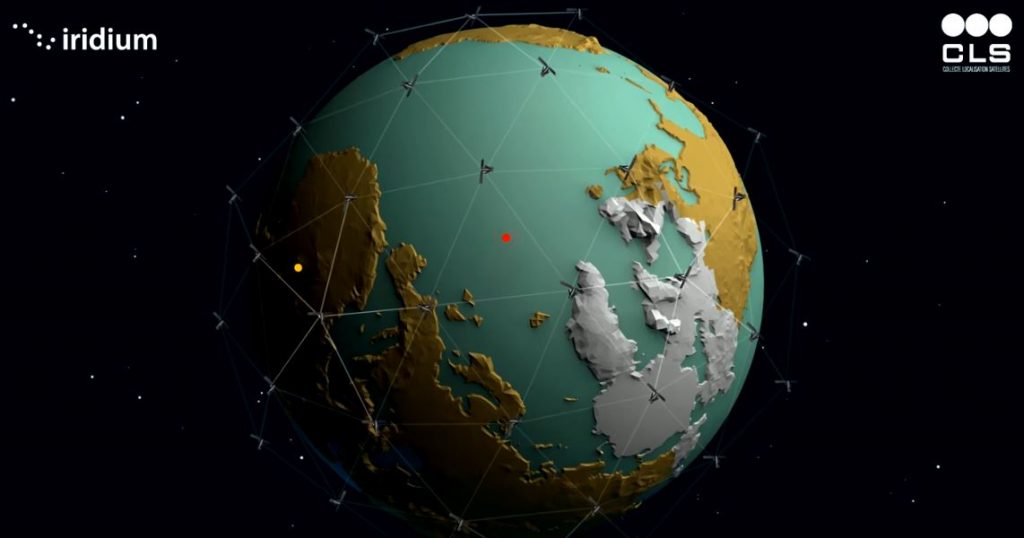
Iridium satellite communications
6 polar orbital planes with 11 satellites per plane
Low Earth Orbit (LEO) = 780 km altitude
Each satellite completely circles the earth once every 100 minutes
Each satellite travels from horizon to horizon in 10 minutes
IRIDIUM is a global mobile satellite communications system, with voice and data solutions. With 66 satellites, it’s the world’s largest commercial satellite constellation
When choose Argos or Iridium?
ARGOS
- Global coverage
- Reliable
- Robust in harsh conditions
- Often selected as a back-up
- Low power consumption
- GPS-free positioning
- Processing fee independent of data volume
- Low cost for modem & antennas
IRIDIUM
- Real-time system
- Reliable
- Global and continuous coverage
- High-data rate (2400 bits per second)
- Two-way communications
- SBD, CSD & RUDICS capabilities


